

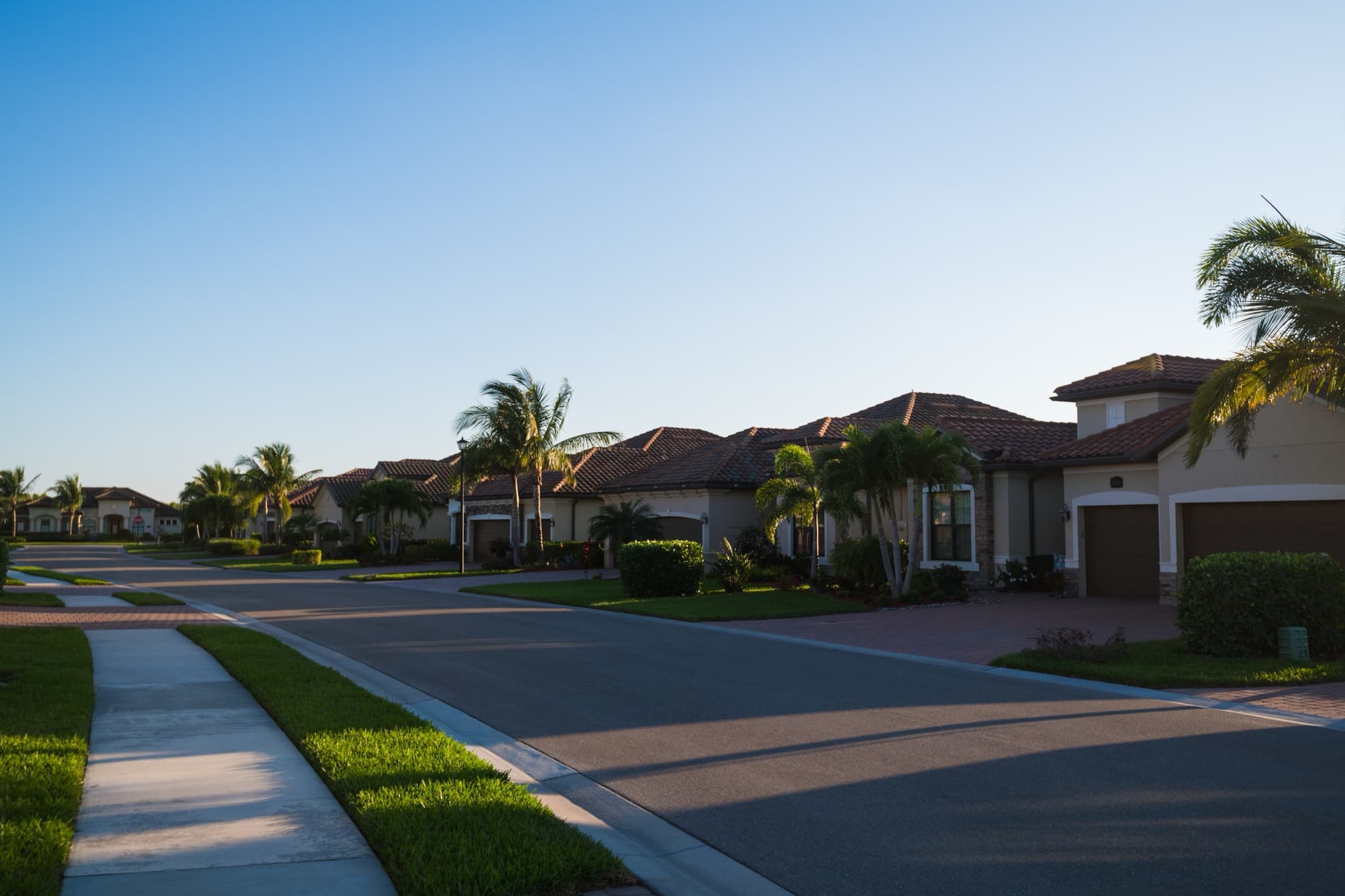
Draw your community once and every vendor starts from the same map.
Trace your common areas on a satellite image. Your RFP carries an approximate acreage.
What the map does
You draw the boundary
Trace your common areas on real satellite imagery. A manual draw is always available.
An approximate acreage
The figure is an estimate from your drawing. It is not a survey.
It travels with the RFP
Every vendor reads the same map and the same scope, so the proposals compare.
Vendors confirm on site
A vendor checks the acreage on its walkthrough before it prices the work.
How to map your community
- Find your community on the satellite map.
- Trace the common areas you want serviced.
- Send the RFP with the map attached.
The boundary is the one you draw.
Keep reading
Community dashboard
Schedules, visit reports, insurance, invoices and votes sit on one screen instead of in five inboxes.
Draw your community to start.
Draw your boundary and send your first RFP.